Territory
Our activities are centred in Codera, the valley’s main town, but also extend to other small hamlets.
The village of Codera, which for centuries was home to self-sufficient communities of over 500 people, was on the verge of abandonment at the end of the last century due to the growing exodus from the Alpine regions to urban areas. Today, there are very few permanent residents, but the original families have always maintained a strong connection to the place, striving to preserve the village’s sense of identity.
Located on a hill known as “la Mutta,” San Giorgio once served as a defensive outpost and observation point, thanks to its strategic position between the Splügen Pass and the Lombardy plain.
Historically, this region has been inhabited since prehistoric times. The Romans, Lombards and, later, the Three Leagues all influenced the area, leaving behind fortifications and defensive structures.
Over time, the valley also became a refuge for people fleeing wars and malaria. Ancient remains, such as tombs built from erratic boulders, bear witness to the historical and spiritual importance of the site.
Today, the Associazione Amici di San Giorgio works to preserve the cultural and natural heritage of the area, keeping local traditions alive through the care of the local museum and promoting restoration projects and landscape maintenance initiatives.
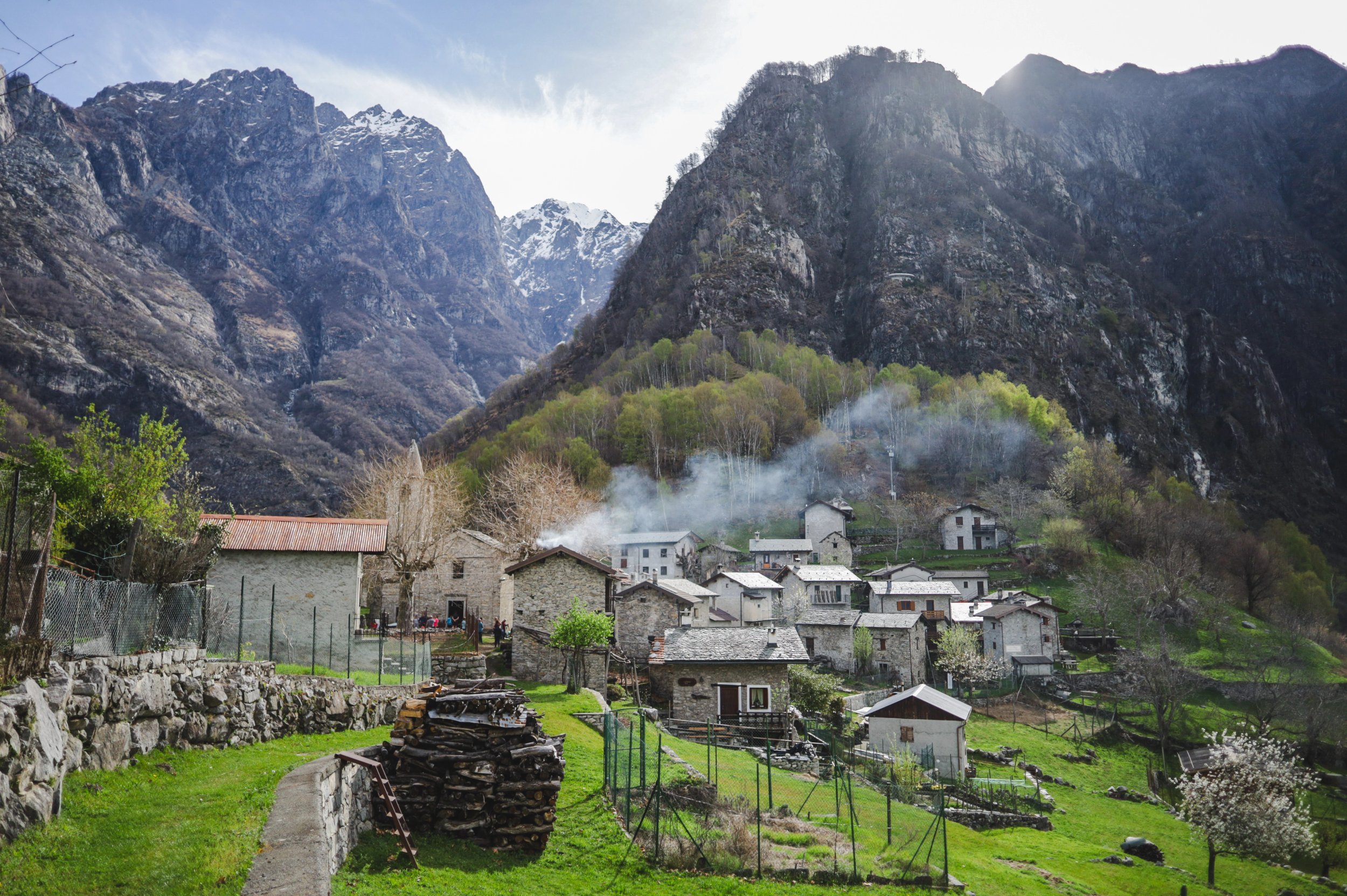
An ancient settlement dating back to before the 14th century, it was originally known as Clivium because of the steepness of the terrain. According to local tradition, its inhabitants were said to put underwear on their hens to keep the eggs from rolling downhill.
The village was inhabited year-round until 1990 (33 residents in 1888 and just 3 in 1990). Since 1999, the Associazione Amici della Val Codera, together with volunteers, has worked every year to keep the village clean and its meadows mown.
Since 2022, the Association has also restored several dry-stone walls in order to revive potato cultivation. Potatoes are grown here according to the principles of so-called “heroic farming”, without the use of large agricultural machinery or chemical fertilisers.
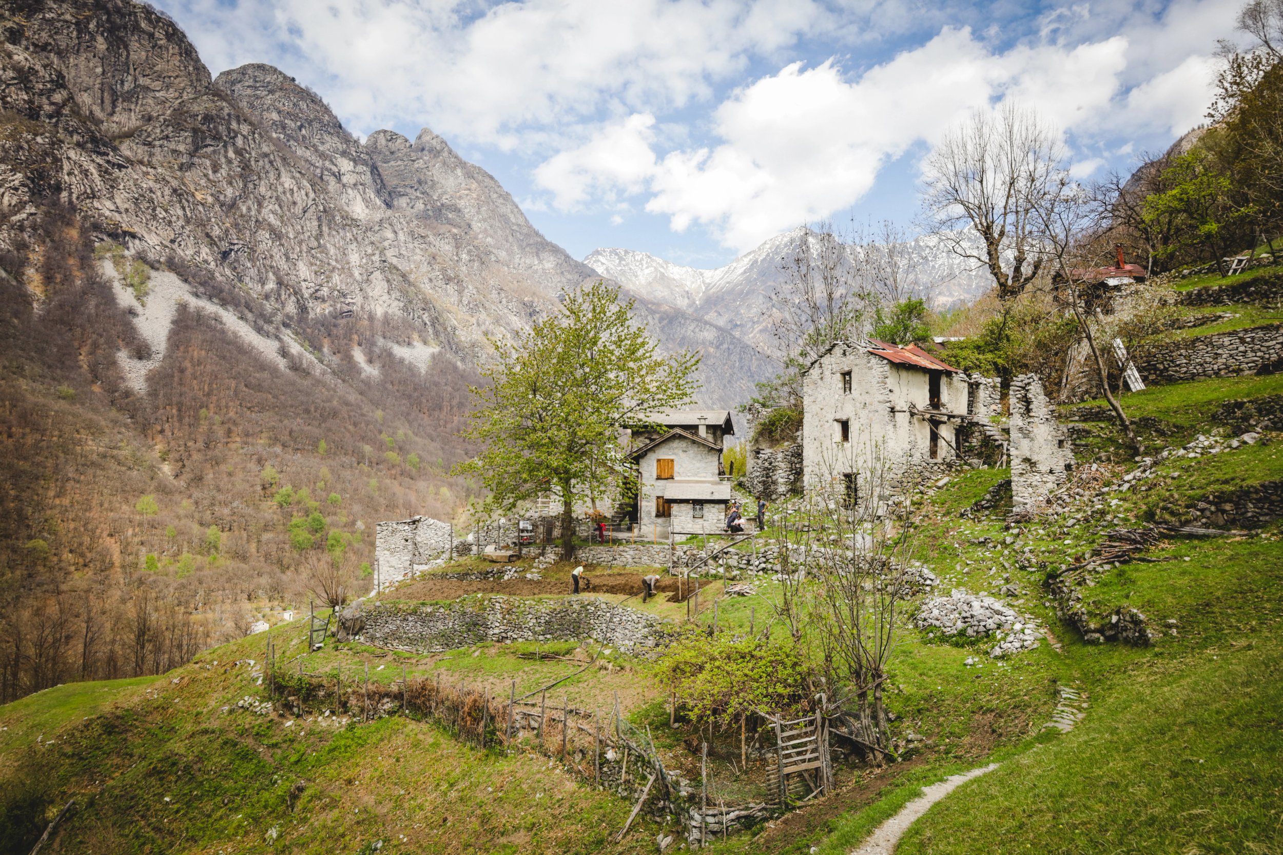
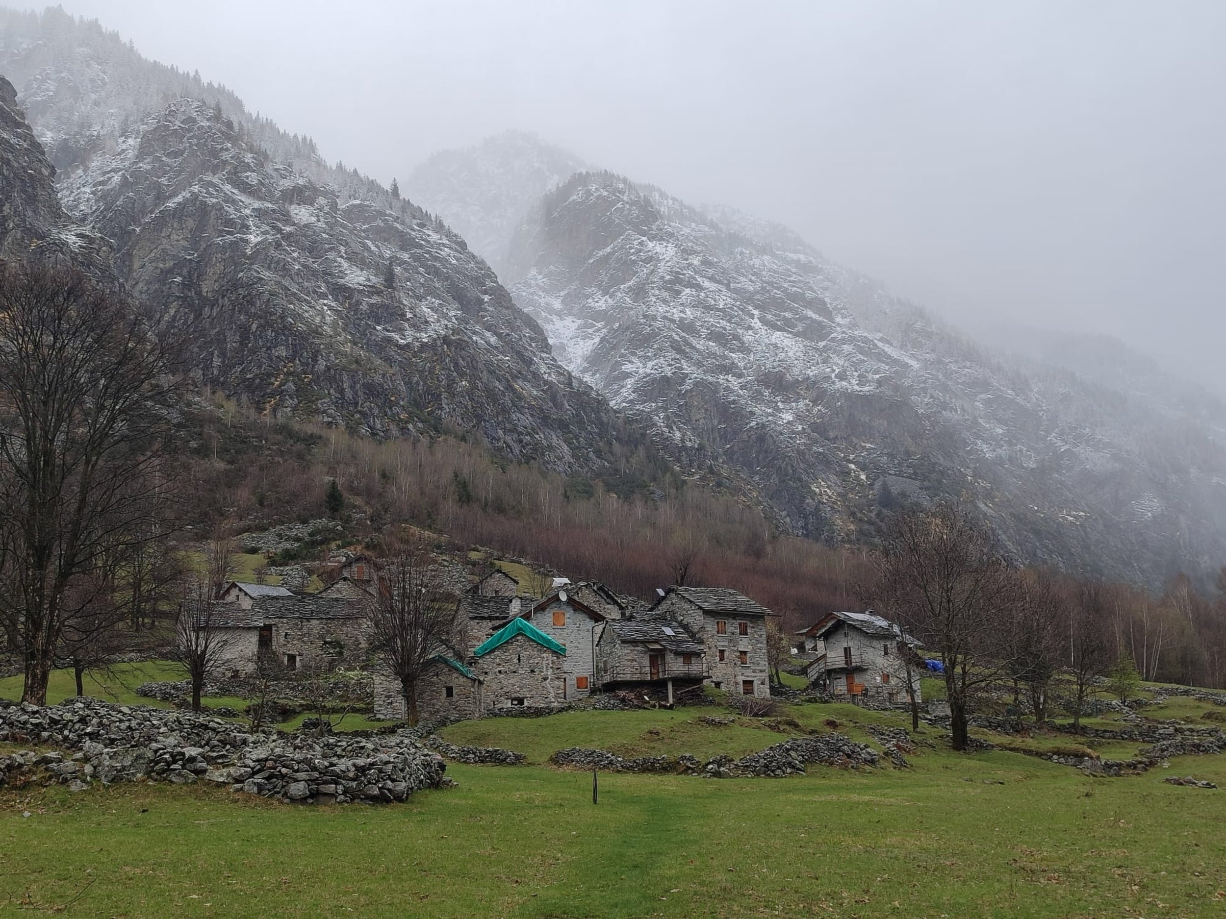
A remarkably well-preserved group of granite buildings, including houses, cattle barns and haylofts, is scattered across the sloping terrain on the left bank of the Beleniga stream. Overlooked by the Capèla del Sabbiùm, the hamlet was permanently inhabited until 2005. Many still remember Romolo Penone, its last devoted resident, who kept alive the age-old traditions of goat herding, meadow maintenance and the production of the renowned Mascarpìn cheese.
La Salina has a very ancient name, derived from the etymological root sel-/sal-, meaning “stone”. Originally, the name referred to the rocky face of the Val Codera glacier moraine behind the houses. Now covered by woodland, these slopes were once cleared and used by local inhabitants as hay meadows.
Most of the houses were burned during the Nazi-Fascist reprisal of December 1944. Only a few survived the incendiary bombs, while almost all the others were rebuilt at the cost of enormous sacrifice. A few damaged walls and the ruins of the so-called Cà di Titòla still remain as reminders of the horrors of war.
Today, the fields and meadows of La Salina, with their characteristic dry-stone boundary walls, are kept mown by a network of volunteers involving the Associazione Amici Val Codera, the Consorzio Alpe del Pizzo, the Consorzio Forestale and local landowners, with the active support of Scout groups.
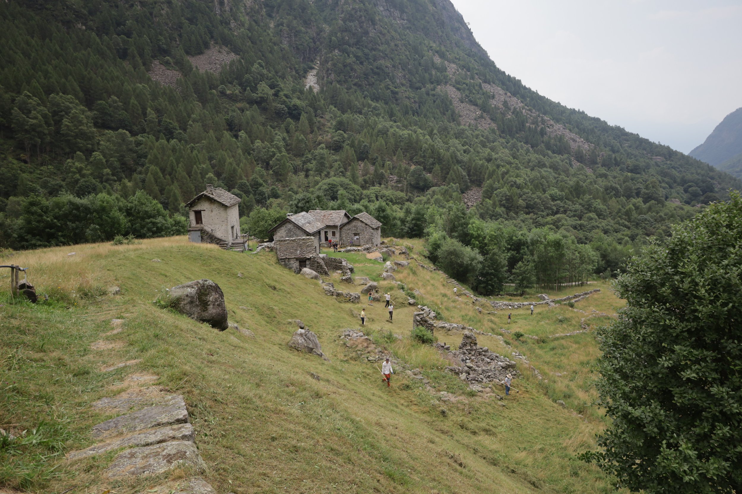
Its name comes from the flat site on which it stands—the bottom of a prehistoric glacial moraine. Unlike La Salina, the houses, with their distinctive stone architecture, are clustered close together in the centre of the grassy plateau.
A short distance away stands the Chapel of San Guglielmo, which in ancient times was visited once a year in procession from Codera. The secluded position of the buildings spared them from wartime destruction, as Nazi-Fascist troops moved along the Codera River at the foot of the plateau.
Together with the houses of Codera and the few that survived at La Salina, these buildings are among the oldest in the valley. They preserve distinctive construction techniques such as the so-called “flat vault”.
Once renowned for the exceptional quality of its potatoes, local tradition also holds that the last bear in Val Codera was killed here in the mid-19th century.
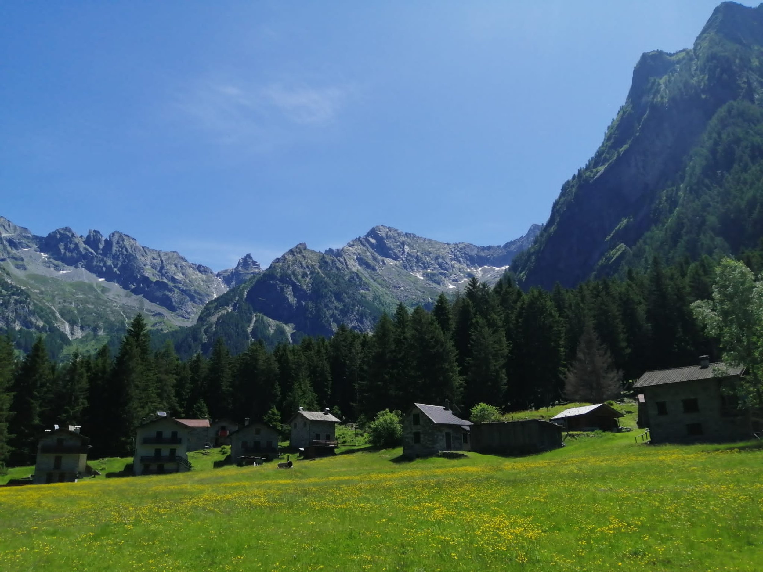
With the opening of the mountain refuge of the same name in 1986, this became the largest and one of the most beautiful alpine pastures in the valley. It was once used for summer grazing by a considerable number of livestock—up to 80 head—on a magnificent plain that was occupied by a lake in ancient times and is now, unfortunately, periodically affected by flooding from the Codera River.
The charming little church dedicated to Christ the King and the former barracks of the Guardia di Finanza blend harmoniously with the mountain huts, almost all of which were rebuilt after the devastating Nazi-Fascist fire.
The plain and the woods between Brasciadiga and Capanna Brasca were the setting for the summer camps of the Aquile Randagie, a Scout group from the Monza-Milan area that defied the Fascist laws which forced youth associations to merge into the regime’s Gioventù Littoria organisation. Thanks to their knowledge of the valley and its isolation, they were able, even during the Second World War, to preserve their Scout faith and identity here.
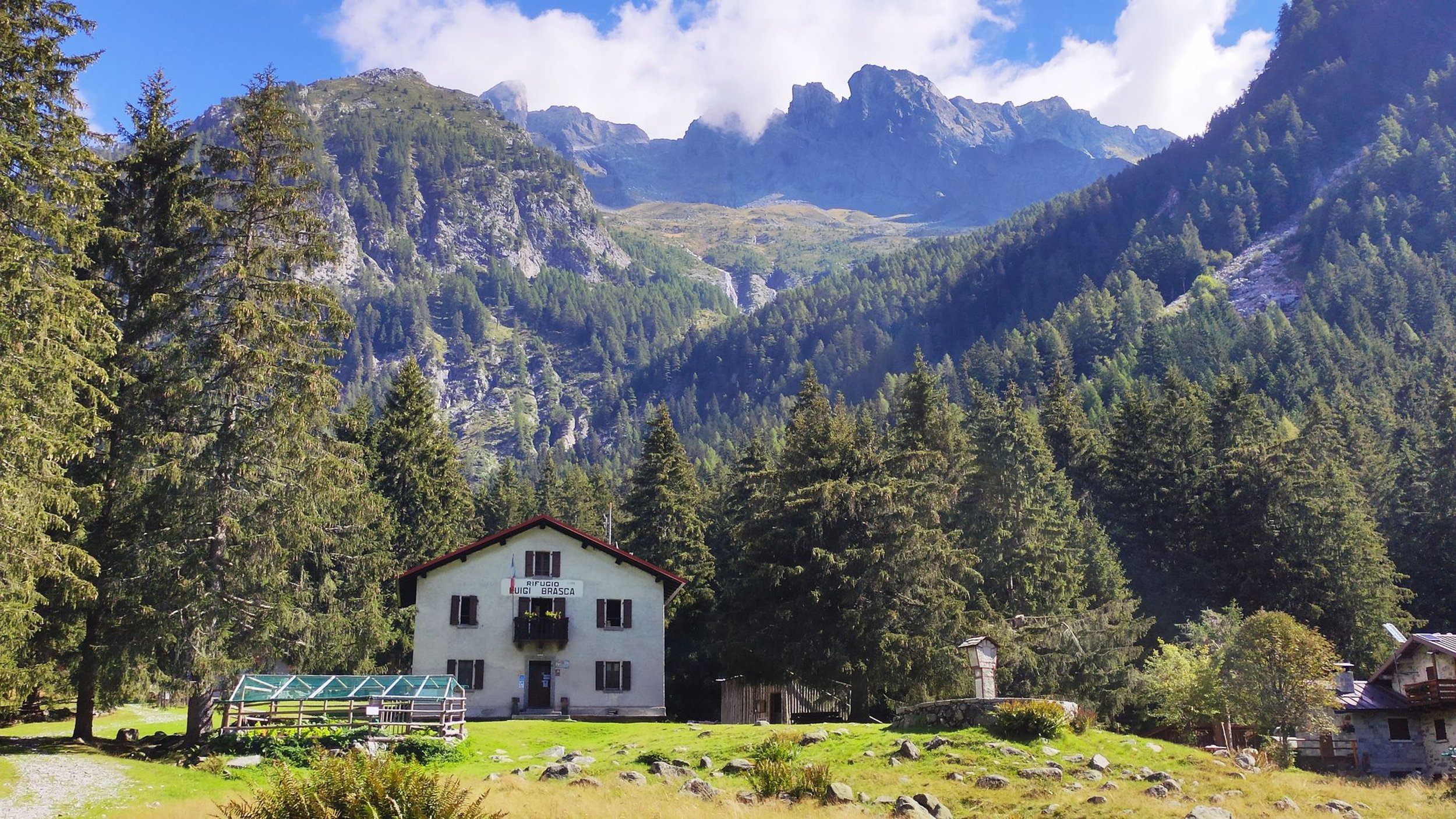
The mountain hut of the Milan section of the Italian Alpine Club (CAI) was built in 1934 in an idyllic setting overlooking the Cascate Gemelle (“Twin Waterfalls”), locally known as i Funtann, in Valle Arnasca. The name Arnasca is also of pre-Indo-European origin and refers to a valley rich in water.
The hut was dedicated to Professor Luigi Brasca (1882–1929), author of the first guidebook to the Rhaetian Alps, published in 1911.
Burned down during the reprisal of December 1944, it was rebuilt between 1946 and 1948. Today, it marks the first stage of the legendary Sentiero Roma.