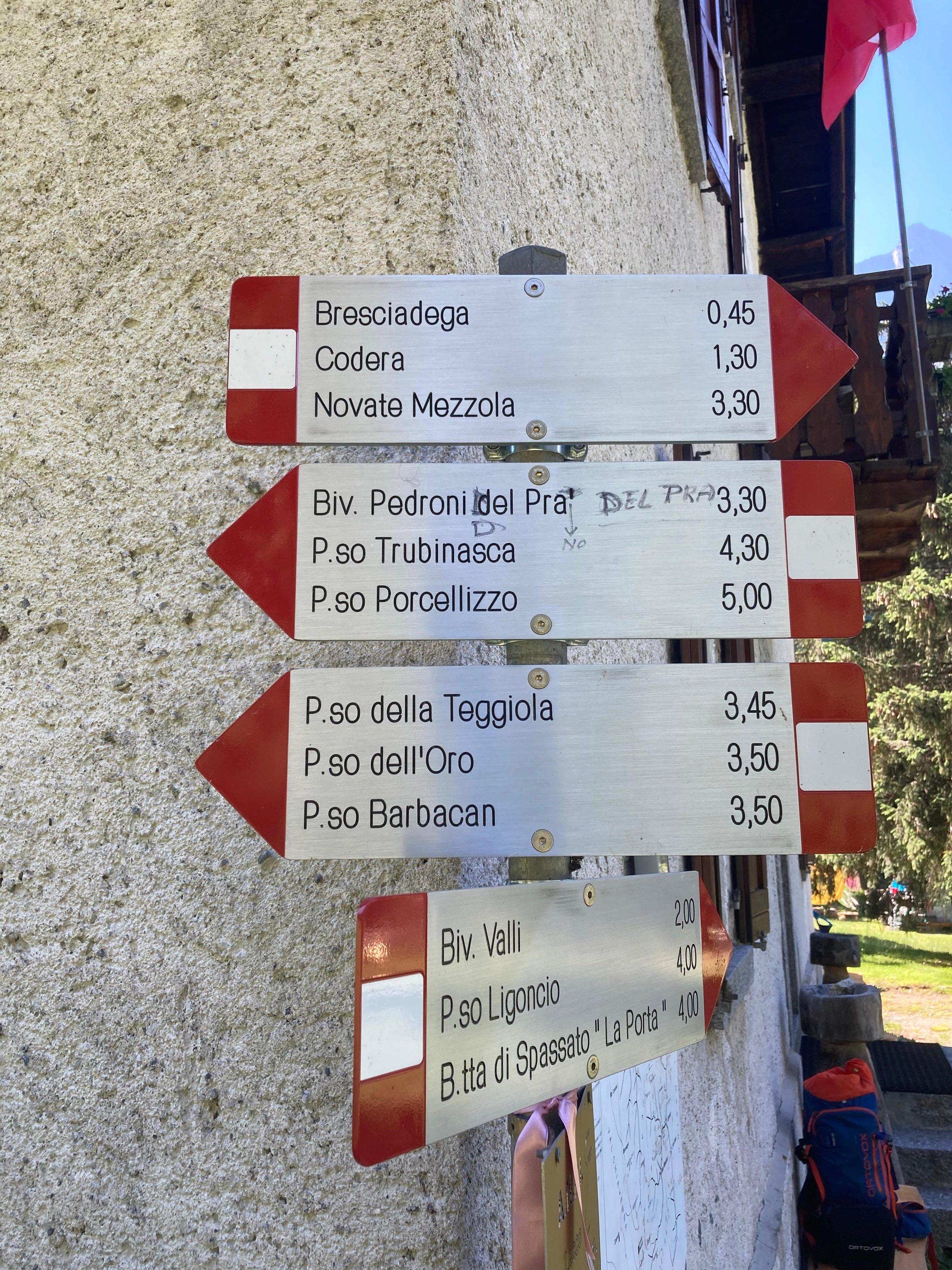
From Codera, take the path (trail marker A7) that leads to the opposite side of the valley, crossing two magnificent stone bridges—the last of which spans the gorge of Val Ladrogno. The trail then climbs steeply to reach the flat terrace known as the “tracciolino.”
After crossing the “tracciolino,” follow the red-and-white trail markers indicating the continuation of the route. Ascend along a very steep track through the जंगल, then across meadows, reaching first the huts of Mottala and then the one called “In cima al bosco.”
At this point, the trail becomes quite rough and begins a very long traverse along the mountainside on the left (hydrographic) side of the valley. Upon reaching the waterfalls that cut across the step leading to the upper amphitheater, the path bypasses them to the right, then heads slightly back to the left to reach the Alpe Ladrogno hut at 1,700 m.
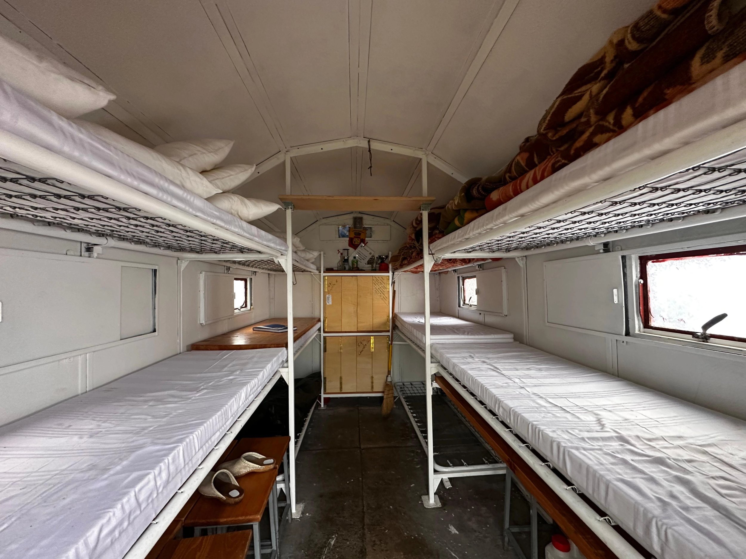
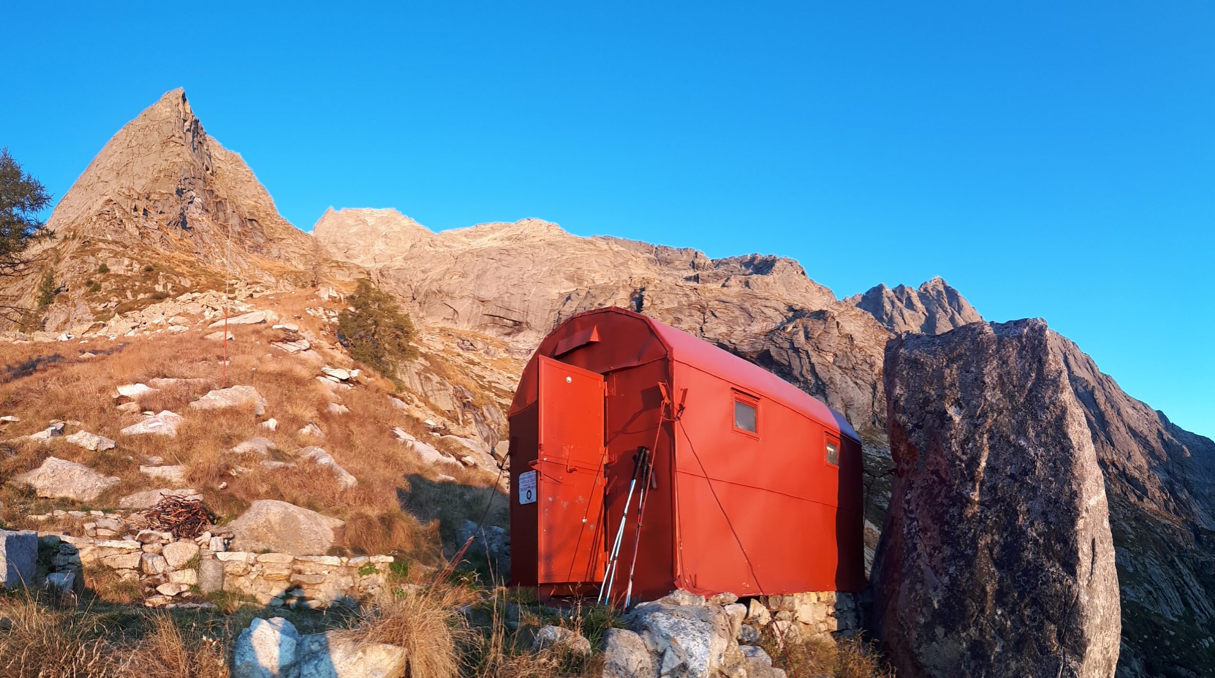
From here, follow a faint track that climbs very steeply through the forest behind the hut, emerging onto the steep upper pastures of the valley. Carefully following the markers, traverse to the right, climb another section through rocky pasture, and with a final deviation to the left, reach the bivouac located in the center of the valley, at the foot of a large and distinctive rock formation shaped like a giant iron.